Cartographies of invisible cities
City (of the irrigation channel) of the Counts
A walk with Núria Martínez-Vernis
Itineraries
Where does the city begin and end? What is my relation to those “paths of desire” that are not marked on the map? How can we read the territory, as though it were a novel to be interpreted through its symbolism and its scars?
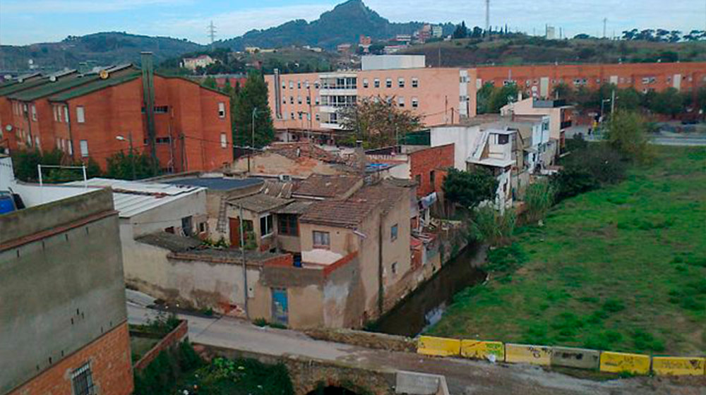
In the course of this itinerary, beginning in the district of Vallbona, where a channel, Rec Comtal, supplied water to the city since ancient times, the poet will explain to us how the fact of crossing the periphery, the border areas, “makes us realize what is inside and what is outside, and why. Once municipal borders and boundaries between districts and neighbourhoods are incorporated, we see how they join. We know that difficulties and conflicts are managed in the joins—in knees, in elbows, in vertebrae—and these joins also exist in the city and can be identified”.
Curator: Albert Lladó
Participants: Núria Martínez-Vernis
This activity is part of Cartographies of invisible cities
Upcoming activities at the CCCB

Xcèntric Film Club 2024-2025
Monthly film forum sessions at Xcèntric Archive